Archival and present-day view — drag or use the arrow keys to compareStop 5 · 1.8 kmStop 5 · 1.8 km away
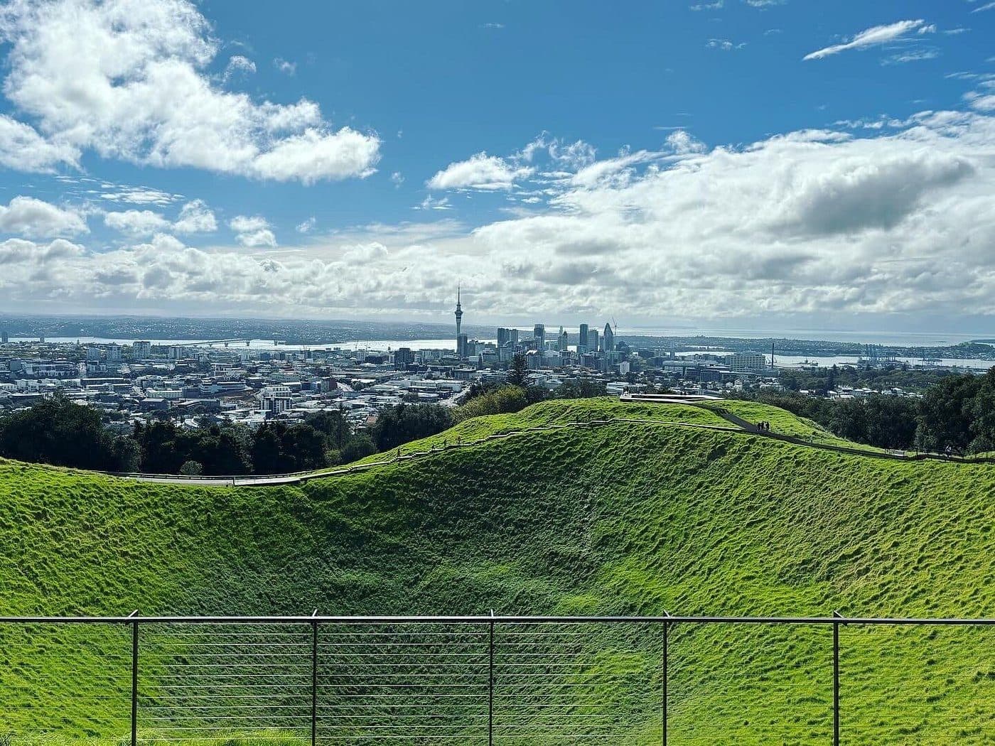
Maungawhau / Mount Eden
The terraces you can still read from the summit path are house sites — the largest kāinga on the isthmus.
393 places on the map
Pā terraces under a golf course. A wharf under a car park. Open the map wherever you are, then drag a hundred years off the street in front of you.
Show mewithinof
Free · Open data, credited on every place · Māori sites held back until mana whenua have reviewed them
Archival and present-day view — drag or use the arrow keys to compareStop 5 · 1.8 kmStop 5 · 1.8 km away
The terraces you can still read from the summit path are house sites — the largest kāinga on the isthmus.
1908 · PreviewTodayArchival and present-day view — drag or use the arrow keys to compareStand here · drag to travel
Where a dated archival photograph exists, it is pinned to the spot it was taken from, so you can hold your phone up and drag between then and now. The first plates are being sourced and licensed now.
See every paired place
Why HeriTrail
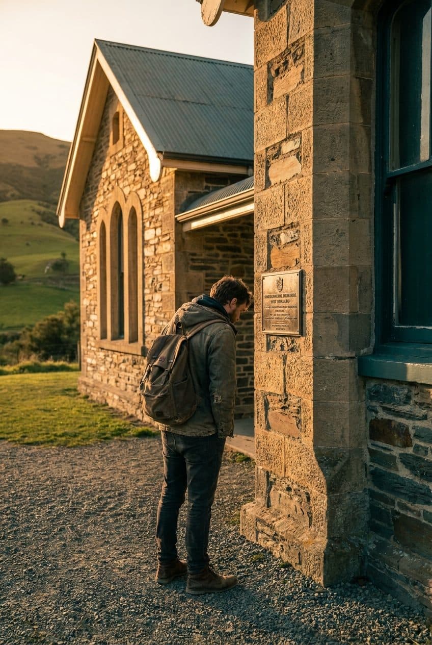
What's bolted to the wall is scattered across a hundred plaques, websites and archives — and shallow about most of what happened here. HeriTrail gathers it onto one map, with the photographs, the voices and the depth the sign never had.
Written with mana whenua and local historians

Tāmaki Makaurau · 9 stops · 2 hr 40
Fifty-three cones across the isthmus, and many of them were lived on. This trail takes six, including the one Auckland quarried away for road metal.

Pōneke · 11 stops · 2 hr 10
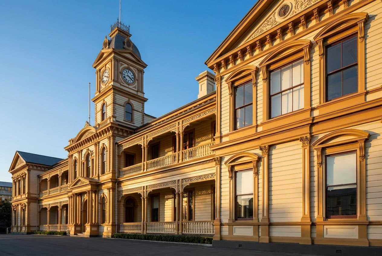
A government that could not afford masonry built the illusion of it in kauri — then watched the 1855 quake hand it more land to build on.

Ōtautahi · 8 stops · 1 hr 50
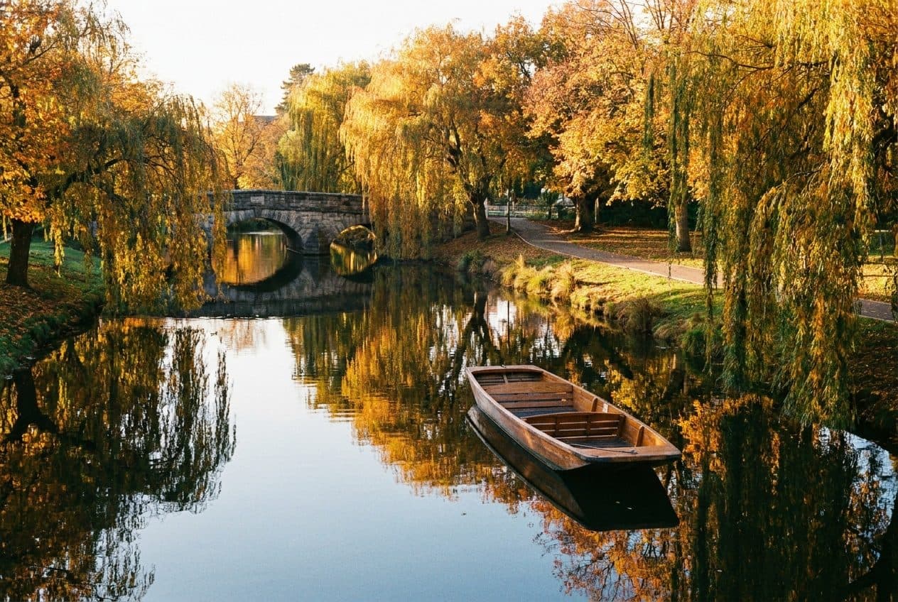
Ōtākaro was a mahinga kai long before it was a punting reach. Walk the residential red zone with the vanished streets pinned back on.
Narrated trails
Each trail is told in short chapters, one per stop, written from the records and sources the app credits. The voices you hear today are draft synthetic narration while real narrators are recorded; every chapter ships with its transcript.
Browse the audio archive
Stop 5 — The terraces
Draft narration · transcript includedDraft narration · synthetic voice, to be re-recorded · transcript included

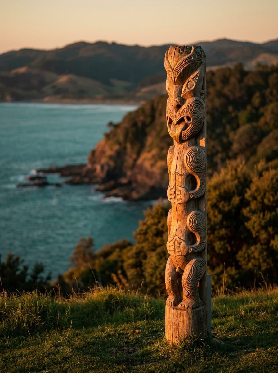
Pou whenua, Te Tai Tokerau · photographed and shared with the agreement of [iwi]
Cultural foundation
Te reo and tikanga are integrated authentically, not decoratively. On every Māori site, cultural protocols sit before the historical description — framed as an invitation to observe, attributed to the reviewing iwi.

Between the stops
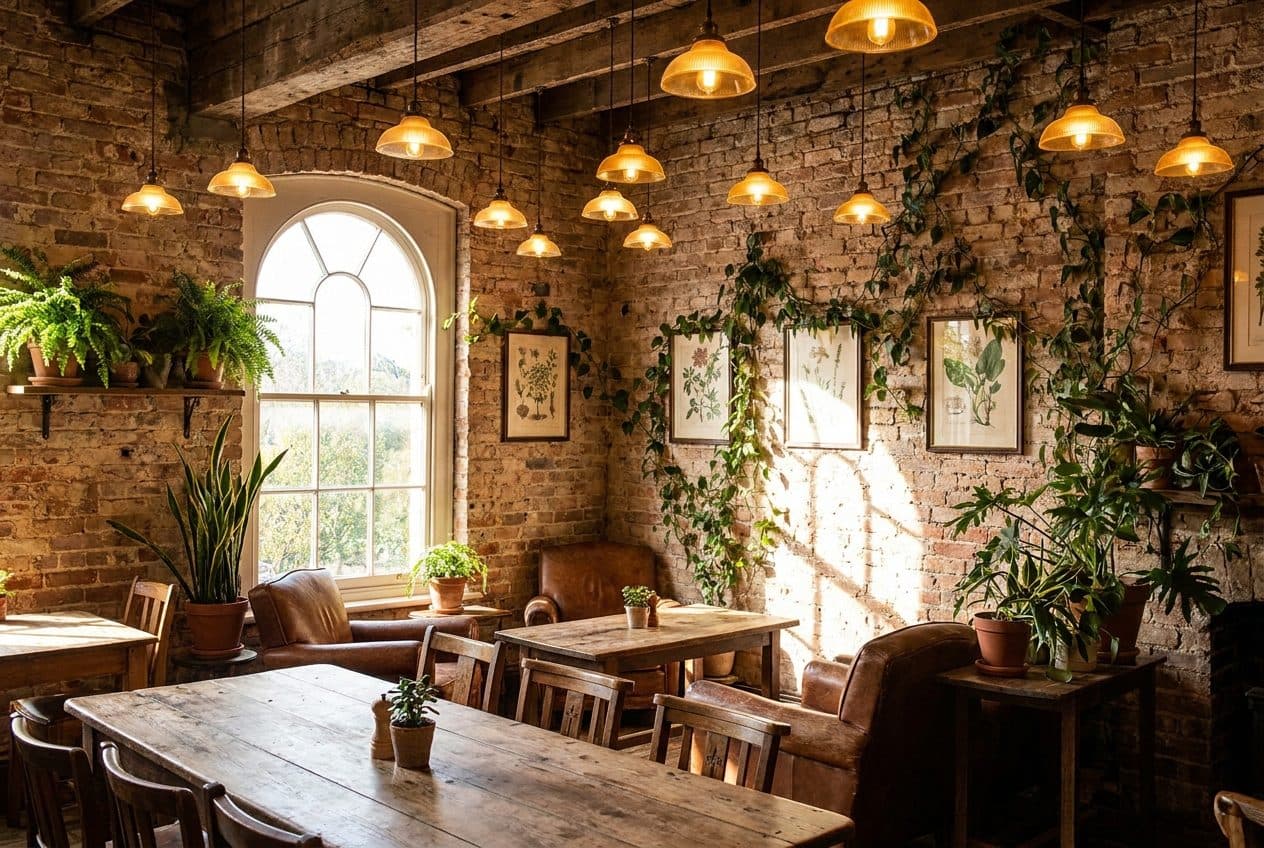
Every trail lists the cafés, bakeries and pubs within five minutes of a stop, and marks the ones that are heritage buildings in their own right.
Free · iOS and Android · in testing
The app carries the map, the photographs and the narrated trails. Offline region packs are in testing, starting with Auckland, so a walk keeps working with no signal.
The archive, on site